Advanced Location and Organisation Management System
Enterprise-grade location management for modern websites
Zenario's Location Manager and Organization-Location Manager modules transform how website managers can handle geographic data and organisational structures within their content management system.
Built for scalability and flexibility, these powerful Zenario features enables businesses to create sophisticated location-based applications and organisational directories, even with secure, personalised websites that grant permissions based on an individual's role within an organisation.
Managing places in the real world
Most organisations have places in the real world, such as offices, resellers, partners, event venues or other locations. But not many CMSs make it easy to manage them. This is where Zenario has has an immense feature set already built in.
Zenario's Location Manager module allows site administrators to enter an unlimited number of real world locations, and to comprehensively manage their data.
Location profiles store complete address information, contact details, and time zones if needed. They can be enhanced with custom metadata via Zenario's extensible Datasets system.
At its simplest, a Zenario website may just show the details of a single office or outlet, displaying a map and name and address information. But the system can grow to an unlimited number of locations, to which can be added images and other rich data.
There is bulk import/export, to efficiently manage large location databases.
Easy to get started
Once the Location Manager module is running, locations can be created in the Organizer administration back-end. Each location can be given an name, an address, and then plotted on a Google map. If the address isn't precise enough, the position of the pin can be adjusted manually.
Customisable fields and descriptive pages
Locations are based on our Datasets system, so if the standard location template isn't sufficinet, it's easy to add more fields, such as phone numbers, an image, URLs, checkboxes/flags, and custom flags and categorisations.
It's even possible to define business sectors, and sub-sectors, so that on location-heavy sites (such as travel websites) you can put locations into broad or narrow groupings.
If each location needs to have a descriptive web page, this is easy to achieve. A location can easily be linked to a descriptive page about it, and the descriptive page automatically shows the location's map and data.
Advanced geographic interfaces for large numbers of locations
Zenario transforms location data into engaging user experiences, even where sites need to present large numbers of locations:
- Interactive Maps: Display single locations or comprehensive location directories, together rich data about locations
- Filterable Location Lists: Enable users to search and filter locations by multiple criteria
- Geographic Boundaries: Support for polygons for regional area mapping
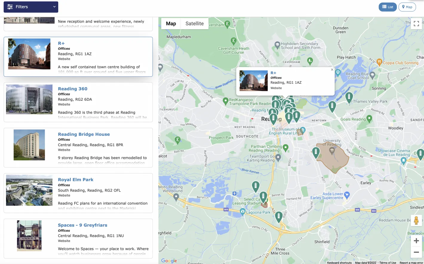
For example, visitors can be presented with an interactive map, which combines with a list of locations, all filterable and searchable, and mobile-friendly:
Creating Areas for regional and city-wide modelling
On many occasions, a point location is not enough, and an Area needs to be defined. For example, the site may need to describe a region, or the boundary of a city.
It's easy to create an Area, creating a polygon shape to define it using a simple drawing tool. Even the default zoom level can be defined.
Once created, the polygon just appears on a location map along with pin-pointed locations, as shown in the example above.
Organisations
Zenario's Organization-Location Manager module makes it easy to model companies, customers, public bodies and non-profits that may have physical locations.
Organisations are effectively a level above locations: they are legal entities that may potentially contain one or more locations. For example, an organisation may have a head office, and various other physical locations.
For example, diverse organisational structures might be modelled in this flexible system, such as:
- Corporate Hierarchies: Manage company branches, subsidiaries, and departments
- Customer Networks: Track client locations and service territories
- Public Sector Bodies: Organise government offices and public service locations
- Non-Profit Organisations: Coordinate multiple chapters, volunteers, and service areas
User permissions
A frequent use-case is to combine organisations with user permissions: a user account can be associated with a location, and then that user may be able to view or edit details of that location, the organisation itself, and other locations.
This is achieved using roles: for example, a user may be a manager (who might be able to edit things across the organisation), or may be a member (who may just view things).
Usage cases
Zenario's locations and organisation management can be applied in many spheres. It can be used to display and apply user access controls in the following scenarios.
Multi-location businesses
- Distributor Networks: Maps and lists of a company's distributors, together with information about their specialisms
- Retail Chains: Store locators with categorisation and service hours
- Service Providers: Territory management and technician dispatch
Tourism
Zenario supports maps and directories of hotels and visitor attractions, with rich meta data and images.
Government and Public Sector
- Municipal Services: Office locations, service areas, and contact information
- Healthcare Networks: Hospital, clinic, and specialist location management
- Educational Institutions: Campus maps and facility directories
Non-profit and community organisations
- Local representation: Display information about locations of organisations with local offices
- Event Planning: Venue management and logistics coordination
- Volunteer Coordination: Regional assignment and resource allocation